In Russia, invented the "underwater" alternative to GLONASS
Russian engineers have found an alternative to the GLONASS navigation system, which will allow for accurate orientation underwater. Developed by scientists from the Saratov State University, the geomagnetic sensor will not only provide underwater vehicles with exact coordinates, but can also be used to search for minerals, as well as to study processes inside the Earth.
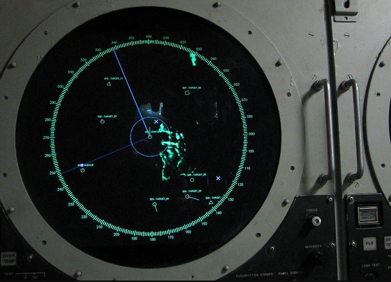
The advantage of the innovation is that it will allow to maintain uninterrupted communication and coordination in the water column, where the satellite system is ineffective due to the attenuation of electromagnetic waves. And, if in a submarine the navigator can take control, then for unmanned aerial vehicles the new system will become a real “find”.
The essence of the invention lies in the fact that thanks to the sensors developed by domestic scientists, it is possible to determine the location of an object on a geomagnetic map, which, in turn, is tied to a geographical map. Similar devices have already been created earlier, but their main disadvantage was the lack of sensitivity to geomagnetic fields and, conversely, the excessive perception of temperature changes.
Saratov engineers were able to solve the above problem by using ferrite in their devices - a material that is sensitive even to a very weak magnetic field. In addition, scientists have already collected a laboratory sample that can function at temperatures from -50 to +40 degrees Celsius.
The only obstacle in the implementation of a promising project is the lack of the most accurate geomagnetic map. The work on its compilation was last conducted in the 70s of the last century. In addition, the geomagnetic field strength at the same point can change over time. However, the same sensors can be used to measure it again.
However, even if an updated map does not appear in the near future, the Saratov development will be able to find application in the search for deposits of iron ore, which greatly distorts the magnetic field. In addition, the sensors are also useful for tracking the displacement of geomagnetic poles, which will undoubtedly contribute to basic scientific research.
Information