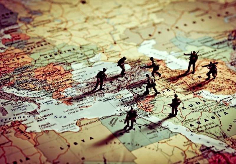
Student declassified all US military bases
American soldiers, without knowing it, posted on the Internet information about the location of US military bases around the planet. Such a discovery was made by one twenty-year-old student, looking at an interactive map on the Internet.
The network has a completely open map marking tracks for fitness. And it just so happened that the Strava company, which had once made this card publicly available, declassified all data not only about its location, but also about the actions of American soldiers at US military bases around the world.
Now this interactive map, writes the Washington Post, does not act as such, but only displays a "picture of the accumulated activity" from 2015 to September 2017.
Publicity on the Internet means a lot. The "secret" of the card was taken and revealed by a young student from Australia, 20-year-old Nathan Ruser.
The Global Heat Map was published on the Internet in November 2017, but all the information appeared on the map only on Saturday last week. It was then that Nathan Racer and spotted military bases.
Mr. Racer is studying international security. He specializes in the Middle East. Seeing this fitness card, he was inspired and asked, according to his confession, the question: does this card show American soldiers?
Shows!
He chose the Middle East region on the map, namely Syria, and was immediately rewarded for his curiosity. The card turned out to be “like a Christmas tree,” he later said through social networks.
The Internet exploded: analysts, military experts, former military personnel rushed in droves to examine the map.
Adam Raunsley, a Daily Beast journalist, calculated the very same American CIA base that had long been supposed to exist: "a lot of jogging" was observed in the area near this "suspected CIA base in Mogadishu, Somalia."
One Twitter user has calculated the Patriot missile system in Yemen.
Ben Taub, a journalist from New York, found out about the whereabouts of US intelligence in the Sahel.
Strava has 27 million users, including many who use the Fitbit and Jawbone fitness apps, as well as electronic subscriptions to other mobile apps.
In Europe and most of the United States, the map is almost continuous light, since a large number of people use fitness trackers there. But in sparsely populated areas and deserts, as well as in places where there are fights (for example, Syria, Iraq), the heat map darkens, with the exception of several points. When you change the scale, you can easily calculate the location of US military bases and various facilities where the US military is engaged in fitness.
The funniest thing to add is the following. The Pentagon itself encouraged the use of the Fitbit fitness app by military personnel and promoted fitness trackers. This was due to the campaign to combat obesity of American soldiers, which was actively conducted at that time by the wife of President B. Obama. As part of the campaign, in 2013, 2.500 fitness trackers were distributed to the US military. The low effectiveness of this campaign was later recognized. But the speed of declassification of the bases broke all records. World security experts already claim that this card is a godsend for the spy.
Photos used: www.washingtonpost.com.
Information