Inertial navigation system will make Russian aviation virtually invulnerable

13

Russia has created and tested a unique strapdown inertial navigation system that will allow our UAVs and other aviation technology continue to carry out the assigned task even if the GLONASS satellite constellation is destroyed.

It is worth noting that the idea of ​​using gyroscopes and accelerometers to accurately determine coordinates is not new. For the first time, such an approach was proposed by German engineers to increase the accuracy of the V-2 rocket. Also, the inertial system was used in the MGM-31 Pershing-1A missile (USA). At the same time, its circular probable deviation at a distance of 740 km was as much as 930 meters, which was already unacceptable for a nuclear warhead of 400 kilotons. In this case, there is nothing to say about cruise missiles and remotely piloted vehicles.


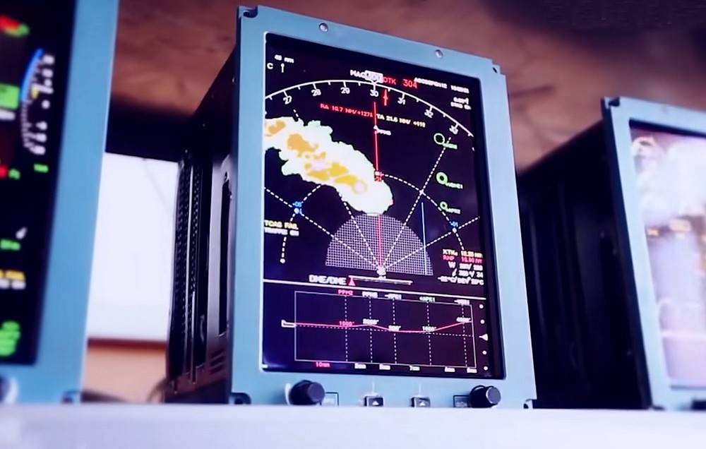
The solution to the problem with the accuracy of coordinates was the creation of satellite navigation systems - GPS (USA) and GLONASS (Russia). These systems make it possible to continuously calculate coordinates with an accuracy of about 2,5 meters.

However, they also had a "weak point". Thanks to modern electronic warfare means, the enemy can jam the satellite signal at any time and even take control of the UAV. In addition, in the event of a "big war", it is the spacecraft that will become the first target for the opposing sides.

Thus, the engineers were faced with an ambitious task - to create an accurate and at the same time autonomous navigation system for aircraft. It should be noted that the Russian developers from the KRET holding coped with it more than successfully.

Experts have created an inertial system that will allow our aircraft to stay on course regardless of landmarks and weather conditions. At the same time, in the autonomous mode of operation, its error is only 2%, and together with GLONASS it decreases to 1%.

Finally, the most important thing is that our system is already a serial product and this year will begin to be installed on Russian UAVs, making them practically invulnerable. Other countries have nothing of the kind in the future.

    Our news channels

    Subscribe and stay up to date with the latest news and the most important events of the day.

    13 comments
    Information
    Dear reader, to leave comments on the publication, you must sign in.
    1. 0
      27 June 2021 12: 06
      2% error, how much is it in km?)
      1. 123
        -1
        27 June 2021 13: 04
        2% error, how much is it in km?)

        Measure with steps or daily transitions, you are probably more familiar with this.

        To date, the error in determining the coordinates of GLONASS is slightly greater than that of GPS: 3 - 6 meters versus 2 - 4 meters. The use of signals from satellites of both systems at once sharply increases the accuracy - the average error in this case does not exceed 1,5 - 3 meters

        Information from there:
        https://mssglonass.ru/

        At the same time, in the autonomous mode of operation, its error is only 2%, and together with GLONASS it decreases to 1%.

        Try the above positioning accuracy multiply by 2 or add the same amount if multiplication is too difficult (arithmetic is a science).
    2. 0
      27 June 2021 14: 19
      1% per 1000 km is 10 km. TE A rocket with this system will deviate by 1000 km for 10 km ??? And the Americans have only 930 m by 740 km ... This is just over 0.1%
      1. +2
        30 June 2021 20: 34
        1% per 1000 km is 10 km. TE A rocket with this system will deviate by 1000 km for 10 km ??

        This is not entirely true.

        If the rocket flies through all these 1000 km on the INS, then the deviation will turn out to be just that large, but the INS is used not in a single, but in a hybrid version, (for example, with GPS). That is, the main part of the time the rocket will fly either on satellite navigation or in hybrid mode, and the INS will switch to autonomous mode only in some specific situation. For example: when maneuvering at the end of the flight, in conditions of strong electronic countermeasures.
        The use of inertial navigation systems (INS) is possible only in the case of small time intervals, therefore the distance, and with it the deviation in error, will not be as large as you think.

        So, the error declared by the Americans - a deviation of 930 m is 0,1% over the entire distance of 740 km, but not at all in the section of operation in the ANN mode. Imagine that the rocket flew to the INS only the last (and quite real) - 10 km. Calculate the percentage of error in this case, and everything will fall into place for you.
    3. 0
      27 June 2021 14: 25
      Russian UAVs, making them virtually invulnerable. Other countries have nothing of the kind in the future.

      And how then did NATO drones return from the Black Sea and Ukraine, after the "failure" of 777
      1. 0
        27 June 2021 15: 03
        Only with gps. A colleague in a clearing showed it 10 years ago. Raised Vert. I drove it away for km, turned off the remote control, put it on the ground. We lit a cigarette. Vert flew in, hovered and sat down at his leg and turned off the rotor ...
        1. 0
          27 June 2021 19: 36
          hovered and sat down at his leg and turned off the rotor ...

          Found by smell wink
      2. 0
        27 June 2021 15: 15
        Well, why put the adepts in a puddle all at once?
      3. +2
        30 June 2021 20: 48
        And how then did NATO drones return from the Black Sea and Ukraine, after the "failure" of 777

        They came back very easily ...
        To do this, they only needed to turn on their INS for a couple of minutes in order to frantically leave the "square of responsibility" of Russian electronic countermeasures, then turn on their comfortable GPS again, and return in peace to where they came from. No one pursued them, there was no command to destroy them, and so on.
        In a real combat situation, (in a war), they would probably be a little less fortunate.
    4. -2
      27 June 2021 17: 02
      Other countries have nothing of the kind in the future.

      It's as usual in Russia - having created something of your own, for the first time at home, to declare that there are no analogues!
      I asked Google about inertial systems - there are a lot of them even in the open sale! Here's one from VectorNav:

      The VN-300 is designed for applications requiring a highly accurate inertial navigation solution in both static and dynamic operating conditions, especially in unreliable magnetic course and poor GNSS visibility. The VN-300 is the first and only inertial navigation system with two GNSS antennas in a single surface mount housing. At the size of a postage stamp, the VN-300 SMD requires only one 3,2-5,5V power supply and can be directly embedded into the user's electronics for unparalleled SWAP benefits.
      The VN-300 Rugged is a plug and play version of the VN-300 SMD. Housed in a precision anodized aluminum clamshell housing, the VN-300 Rugged provides additional protection for internal MEM sensors, GNSS receivers and electronics. Communication with the module is carried out via a blocking 10-pin connector, as well as two MMCX connectors for external active GPS antennas.

      Size - about a postage stamp, gentlemen!
      Or from Safran:

      By mastering the full range of inertial technologies (mechanics, heat treatment, laser, optical fiber, resonance structure), Safran has accumulated over 70 years of know-how in civil and military navigation systems operating in all environments. Safran solutions combine orientation and heading with inertial navigation to deliver a high level of performance and accuracy. Safran's inertial reference blocks are at the heart of weapon systems. They provide accurate navigation and location information to combat platforms when performing missions, whether it is their location or the guidance of weapons systems (artillery, missiles, etc.), sensors (radars, optronics, etc.) or the weapon itself. help these systems while ensuring maximum safety. On modern fighters such as the Rafale, they provide fully autonomous operation and resistance to electronic warfare. The European NH90 helicopter has also installed this technology.

      Te Rafale has, and an NH90 helicopter. And this is only on the surface of Google - the first two sources that hit.
      And in the article - “there are no analogues”! Although yes - in Africa this has not yet been created ...
    5. +4
      28 June 2021 21: 44
      wow, how many bindyuzhniks with sideways and crested horses came running, apparently hurt their message
      1. 0
        28 June 2021 22: 27
        ... apparently touched their message

        And this is they from anger! They did not think that Russia would be able to create something that they have existed for 20 years!
    6. 0
      29 June 2021 12: 17
      I do not know which primary source the would-be reporter read, but he even managed to call the "INERTIAL" navigation system "INERTIAL".
      And then it's even worse ...

      At the beginning of the article, an example was given with the Pershing, where the accuracy of 930 m (0,93 km) at a distance of 740 kilometers is considered unsatisfactory.
      Following the results of the article, we compare this accuracy with an accuracy of 2% of our system. That is, 2% of 740 km is 14,8 km. That is, at the same distance of 740 km, our newest system makes a mistake 16 times more than the elderly Pershing produced in 1969! Brilliant result !!!
      That is, our reporter waves his tongue / pen as he wants, without understanding the problem.

      I'm not special either, but reading I get along, I am able to understand that this is bullshit.